- Get to know our -
services
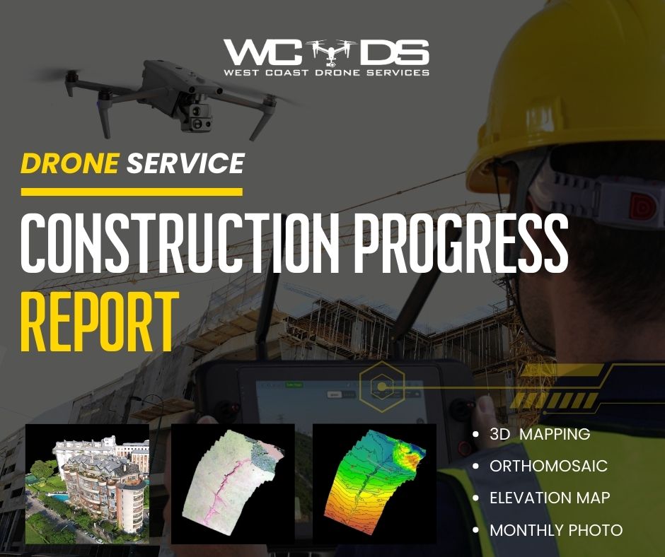
Construction Progress
Our Construction Progress service with drones provides you with a detailed, real-time view of your construction project’s advancement. With high-resolution aerial images, you can closely monitor every stage, identify issues early, and make informed decisions to keep your project on the right track.
BENEFITS & USE
- Early issue detection, saving time and money.
- Evaluation of construction work quality.
- Visual reporting for stakeholders.
- Workplace safety monitoring.
Real Estate
Our Real Estate service uses drones to capture spectacular aerial images of properties. Showcase your real estate in a stunning way and attract potential buyers and investors with high-quality aerial images that stand out from the competition.
BENEFITS & USE
- Impressive aerial images for ads and promotion.
- Highlight property location and features.
- Development and construction progress monitoring.
- Reduced time on the market.
MAPPING 3D
Our 3D Mapping service redefines infrastructure cartography. Using drones, we create accurate three-dimensional models of terrains, buildings, and more. This is essential for project planning, inspection, and monitoring, as it provides a detailed representation of the environment.
BENEFITS & USE
- Precision in infrastructure cartography.
- 3D modeling for urban planning.
- Monitoring coastal erosion and environmental changes.
- Detailed infrastructure inspections.
Drone Inspections
Our Drone Inspections service gives you access to hard-to-reach areas and allows you to assess the condition of structures, facilities, and equipment. From utility poles to building roofs, drones perform comprehensive inspections safely and accurately.
BENEFITS & USE
- Safe and efficient infrastructure inspection.
- Early detection of damage or issues.
- Reduced risk to workers.
- Detailed technical reports.
Surveying
Our Drone Surveying service is ideal for farms and land. Drones capture precise topographical data quickly and efficiently. This is essential for project planning, resource management, and assessing land health.
BENEFITS & USE
- Fast and accurate topographical mapping.
- Evaluation of soil quality and land use.
- Monitoring of crops and natural resources.
- Land development planning.
Filmmaking
Our Filmmaking service with drones takes your audiovisual projects to the next level. Capture stunning cinematic aerial shots and high-quality videos for your productions. Drones provide unique and dynamic perspectives that will enhance your audiovisual content.
BENEFITS & USE
- Unique scenes and shots that add value to your productions.
- Cost savings compared to traditional methods.
- Access to previously inaccessible locations and angles.
RESPONSABILITY
At West Coast Drone Services, responsibility guides our actions to ensure safety and regulatory compliance.
ETHICS
We act with integrity and respect, adhering to high ethical standards in every project.
TRUST
We build customer trust through quality, reliability, and transparent communication, exceeding their expectations on the West Coast of Puerto Rico.
Únete a nuestra Comunidad en Facebook.
our
drone
dji mavic 3 enterprise module rtk
The DJI Mavic 3 Enterprise Series is designed for commercial and professional applications that demand a high level of precision and versatility, such as mapping, inspections, and search and rescue operations. It also features an integrated HD camera for capturing high-quality aerial shots with a 56× hybrid zoom. A true technological powerhouse at your service.


